

GAMBIA -SENEGAL- AT A GLANCE
-
Official name: Republic of Gambia
-
Head of State: President Adama Barrow
-
National Day: 18th of February (Gambia-1965)
-
Capital: Banjul
-
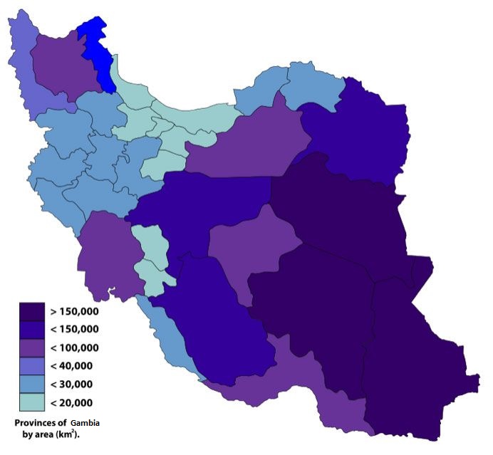
Area: About 1,300 square kilometres
-
Land boundaries: 15 to 30 miles (25 to 50 km)
-
Sea boundaries: 50-mile territorial sea: 150-mile territorial sea
-
River boundaries: is a major river in West Africa, running 1,120 kilometres (700 mi)
-
Border countries: Senegal, mali, Guinea,burkina faso,
-
Climate: Tropical.
-
Natural resources: laterite, titanium, rutile, ilmenite, tin, zircon, and silica sand
-
Land use (Land Acquisition and Compensation Act 1975):
-
Arable land:0000 (0.00%)
-
Meadows and pastures: 0000 (0.00%)
-
Forest and woodland: around 45 ha, 110 acres;(%)
-
Other: 0,00 (0.00%)
-
Irrigated land: 0,000 (0.00%)
-
Agricultural products:groundnut, cotton, sesame and horticulture.
-
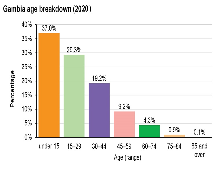
Population: UN estimates the July 1, 2020 population at 2,416,668
-
Population growth rate: 3.2 % (2020)
-
Religions: Muslims constitute 96 percent of the population of the Gambia
-
Languages:Mandingo, Fula, Wolof.
-
Literacy (2020): - 41.95%
-
Currency: Gambian dalasi
-
GDP: $493 (2020)
-
GDP per capita: 809.40 US (2020)
-
GDP growth rate: 5.4% (2020)
-
Total Imports: $ 664.9m
-
Total Exports: $118M – 2018
-
Foreign Direct Investment: UNCTAD’s Investment Policy Review (IPR
-
Industries: The tourism sector remains extremely important to the nation's economy. Manufacturing. The manufacturing industry in the country is limited to SMEs whose products are mainly meant to supply
-
Electricity: Distribution via 5 radial 11-kilo volt (kv) feeders and three 33 kv feeders that form a ring in the GBA
-
Transportation:
-
Railways networks: 0.00
-
Road networks: 0.00
-
Ports: The Gambia Ports Authority
-
Airports: Banjul International Airport (BJL)
information and documents published in this website are published only for information purposes. The contents of any section of the Site may in no way be considered exhaustive, nor may it qualify as a legal opinion or professional consultancy of any type.